Mussel surveys with multispectral drone data
Our science team has been working closely with Heliguy™ to survey mussels beds with multispectral data.
Their in-house survey department has built a dedicated multispectral post-processing course to aid in future surveys.
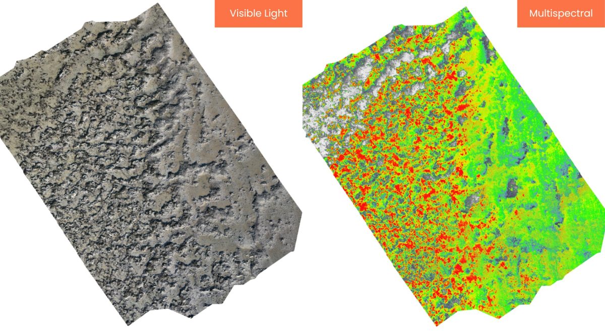
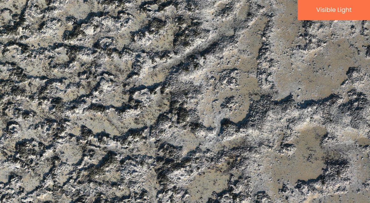
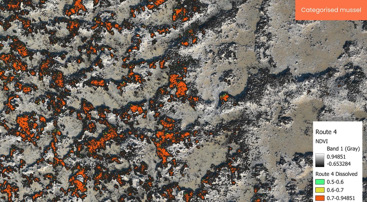
The two images below demonstrate mussel categorization with multispectral (NDVI) data.
The science drone uses four 5MP multispectral cameras, which allows for data collection in the Green, Red, Red Edge, and Near-infrared bands. The drone also has a built-in 20MP RGB camera.
The Science Team will continue to develop further testing to include looking at how the presence of algae growth interspersed with mussel affects the imagery, testing NDVI scores across different beds with different characteristics, and exploring a methodology for calculating biomass with combined sampling.
Whilst the initial focus is on the North Wests mussel beds, NWIFCA’s plan is to extend the drones use to other environmental aspects across the district.
For example: location of fishers on cockle beds during a fishery can be mapped. The data collected can then be overlaid with stock assessment data where fishing patterns can be identified. Our science team can then see how these relate to the density and distribution of stocks.
To read the full article and learn more, please click the link below.